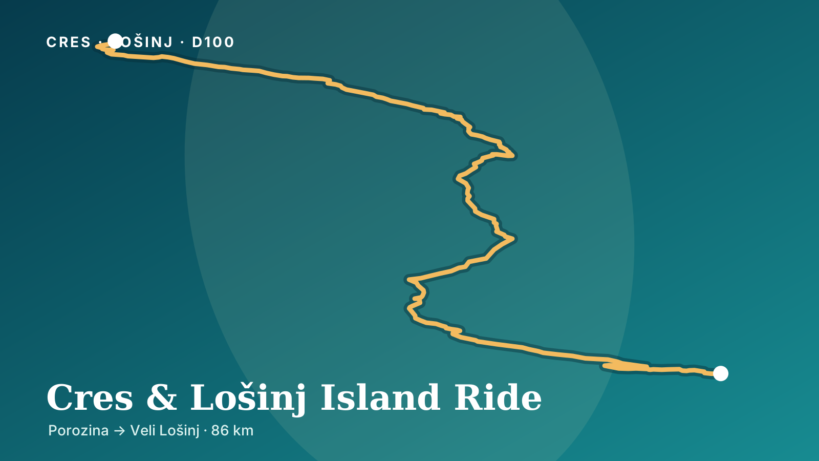
The route starts at 9 m and finishes at 13 m. It climbs 1909 m and descends 1906 m, ranging from -2 m to 449 m above sea level.
Total ascent
1909 m
Total descent
1906 m
Lowest point
-2 m
Highest point
449 m
Elevation sampled in GPX track order, from start to finish.
Editorial overview
This point-to-point ride begins at Porozina ferry port in the north of Cres and follows the islands’ main road south through Cres, Osor, Nerezine and Mali Lošinj before finishing in Veli Lošinj. The City of Cres identifies D100 as the principal road from Porozina to Veli Lošinj, crossing both Cres and Lošinj for 80.3 km. The supplied 86 km track adds local streets through the main settlements and the final approach in Veli Lošinj.
The northern part of Cres supplies the route’s most sustained sequence of climbs, descents and bends. Farther south, D100 passes the freshwater Lake Vrana area, reaches the historic town of Osor and crosses the narrow channel onto Lošinj by a movable bridge. The landscape gradually changes from the sparse, exposed north of Cres to the lower and more settled roads around Mali and Veli Lošinj.
Practical riding information
Allow around three hours for the recorded route before longer stops. The surface is asphalt throughout, with fuel, food and services available in Cres, Nerezine and Mali Lošinj. Begin with enough fuel for the northern section and avoid rushing after disembarking with ferry traffic. There are no road tolls on the recorded track, but the vehicle ferry is paid separately.
The most direct access to the start is Jadrolinija’s Brestova–Porozina vehicle ferry. Its published 2026 crossing time is about 20 minutes, with different high- and low-season schedules. Tickets are valid for any departure on the printed travel date, but boarding remains subject to capacity. Check the live timetable, fare and HAK traffic report immediately before travel. The Osor bridge normally opens at 09:00 and 17:00 for marine traffic, temporarily stopping vehicles on D100.
Before you ride
Warnings and restrictions
FerryCaution
Ferry access depends on the sailing schedule
The route starts at Porozina ferry port. Jadrolinija line 334 from Brestova takes about 20 minutes, but departure frequency changes between low and high season. Check the current timetable and fare, and allow extra queue time during busy summer travel days.
The movable road bridge at Osor is scheduled to open daily at 09:00 and 17:00. Road traffic pauses while vessels pass, so plan additional time around those openings and obey local signals.
Long stretches of D100 are exposed to wind, and the northern approach includes repeated bends and limited passing opportunities. Expect heavier traffic near ferry arrivals and island towns in summer; check HAK conditions and ride to the available sight distance.
/media/routes/cres-losinj-island-ride-cover.svgOriginal material · Moto Routes editorialOriginal site artwork derived from the supplied GPX track
/media/routes/cres-losinj-island-ride-social.jpgOriginal material · Moto Routes editorialRaster export of original site artwork derived from the supplied GPX track