Editorial overview
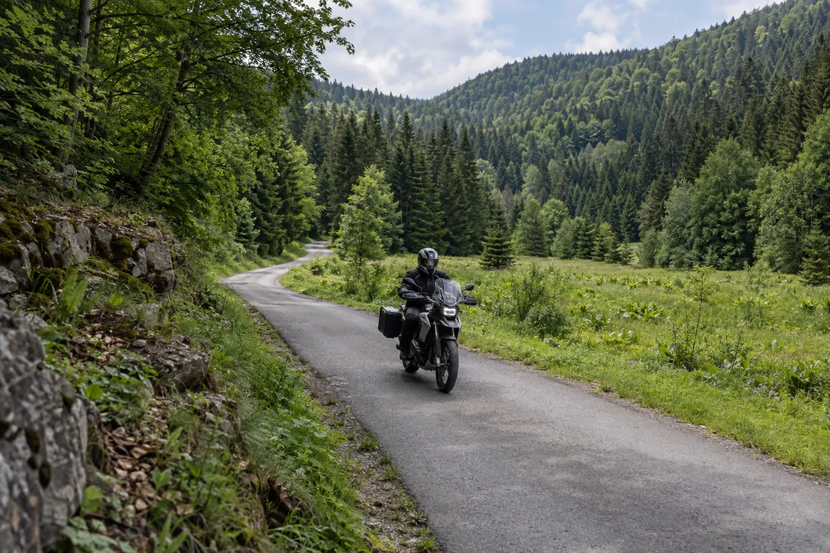
The recorded route leaves the Adriatic at Senj, follows the coast briefly to Sveti Juraj and then climbs into Velebit through Oltari and Krasno. The paved approach changes the character of the ride quickly: sea-level bends give way to cooler forest, tighter mountain roads and the broad green valley of Štirovača, which lies at roughly 1,100 metres and is known for its conifer forest, wet grasslands and spring.
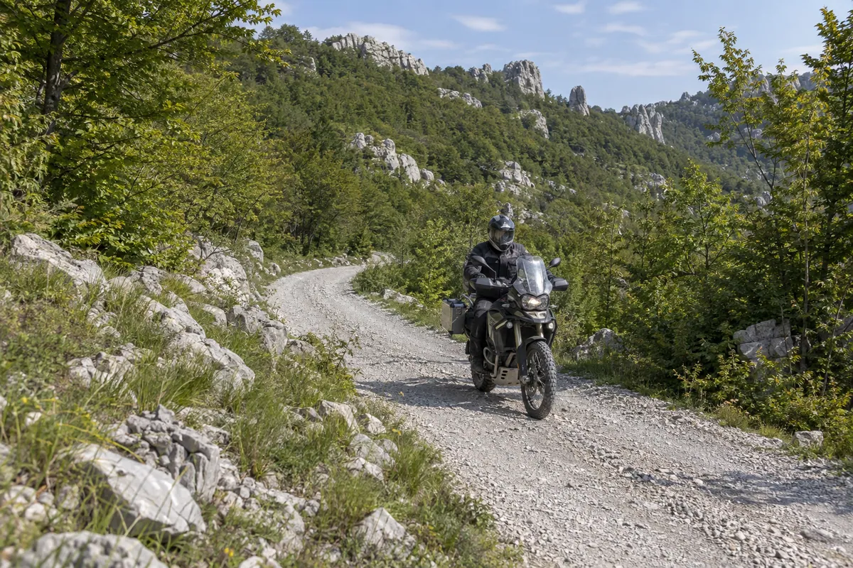
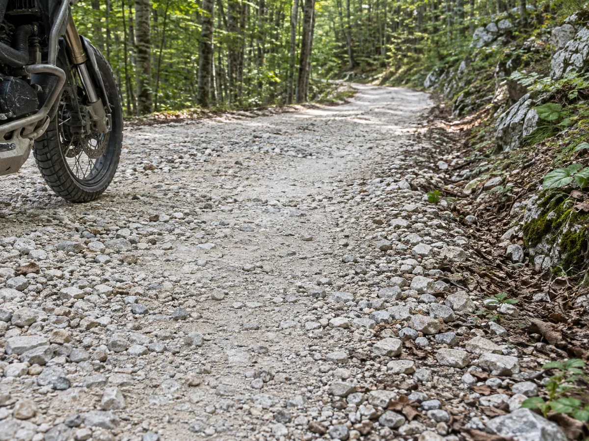
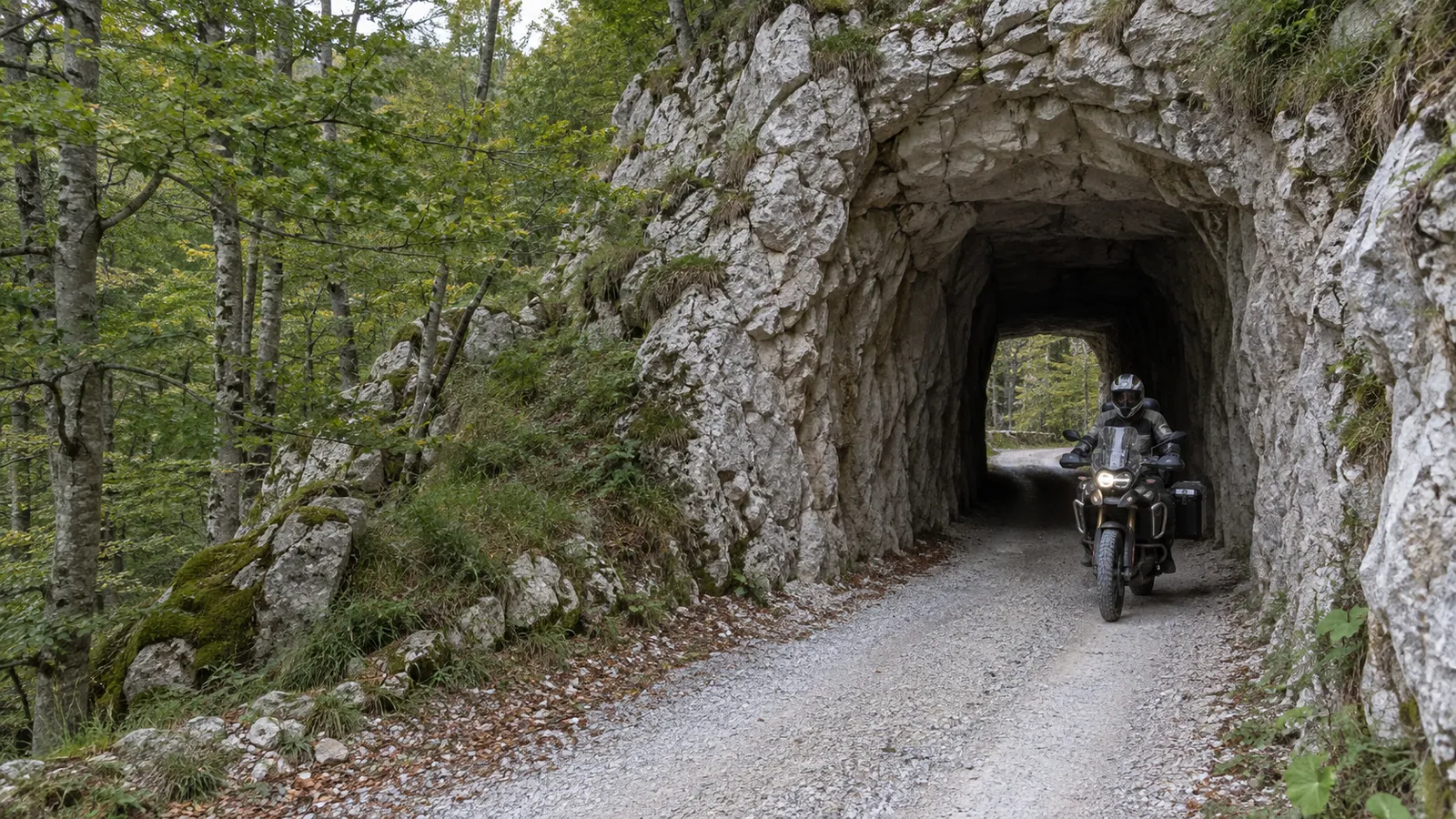
Beyond Štirovača, the middle of the route is the reason to ride it. The track follows the remote gravel road along central Velebit toward Kugina kuća, a former forestry lodge beside the longitudinal road from Sušanj through the Dabarski kukovi area. Pale limestone gravel, dense beech forest and open karst alternate below a chain of distinctive rock formations that extends for about 10 kilometres. Two short passages cut through the rock form the route’s most recognisable road feature.
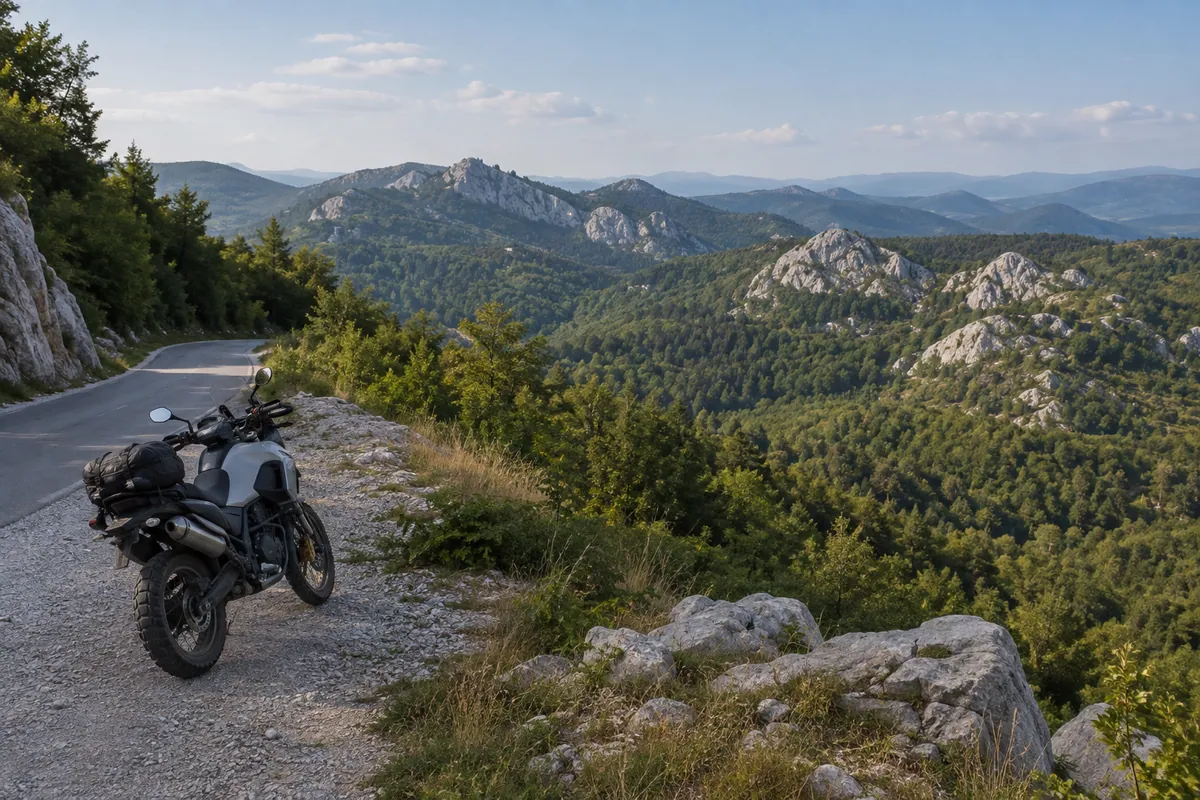
At Dabarska kosa, the Sušanj–Štirovača road crosses the Premužić Trail. The surrounding views open across the forested karst and the Dabarski kukovi landscape; Ravni Dabar belongs to that wider setting but is not treated here as an obligatory off-route stop. The route then leaves the high ground, returns to asphalt and descends through Sušanj Cesarički toward Karlobag, bringing the Adriatic back into view at the end of a ride defined by the transition from coast to forest, remote gravel and limestone.
Practical riding information
This is a mixed-surface route suited to adventure and dual-sport motorcycles. A road-biased adventure bike can be appropriate in dry, maintained conditions, but the unpaved section should not be assumed to be uniformly easy. Loose stone, ruts, washouts and traction can change after rain, snow, erosion or road maintenance. The moderate rating describes the planned route as a whole; it is not a current assessment of every gravel kilometre.
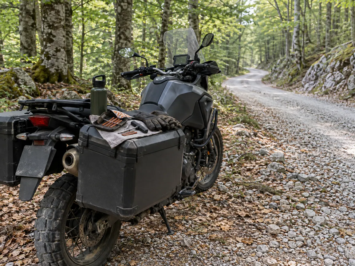
Allow about five hours for the recorded track before longer stops. Carry water, basic tools and puncture-repair equipment, and leave enough daylight and weather margin for the central Velebit section. The May–October season shown here is planning guidance rather than a statement that the road is open or clear throughout those months. Check the latest weather and HAK road information before departure, and turn back if conditions, restrictions or your motorcycle and tyres make the unpaved section unsuitable.