Route stages and important stops
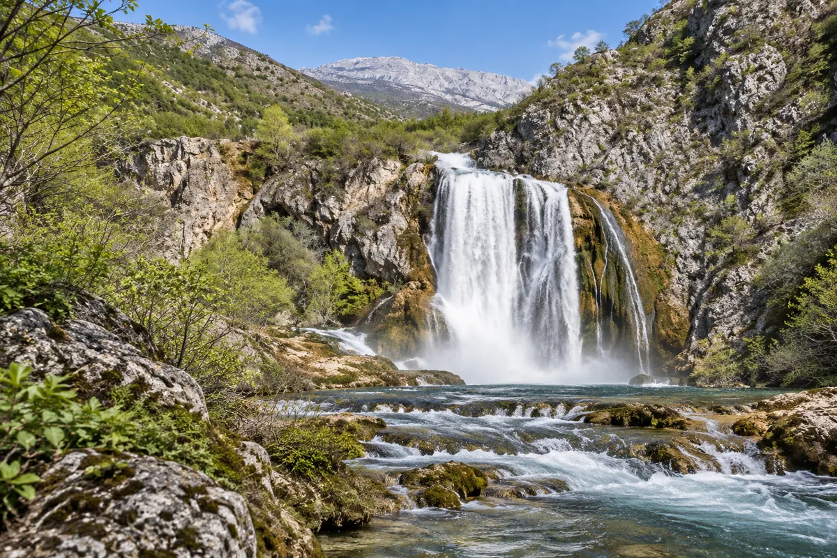
The recorded route starts in Knin and heads through Kovačić toward the Krčić River. Krčić Waterfall, also called Topoljski buk, is the first natural stop close to the track. The Knin Tourist Board describes it as the river’s final and largest waterfall, about 22 metres high, with the Krka rising below it. Flow can vary with the season, so the waterfall may not look like it does in spring photographs.
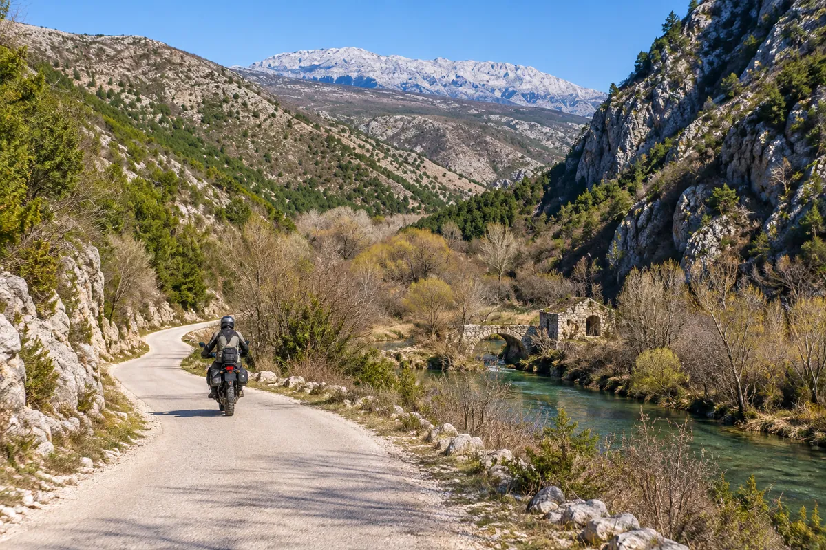
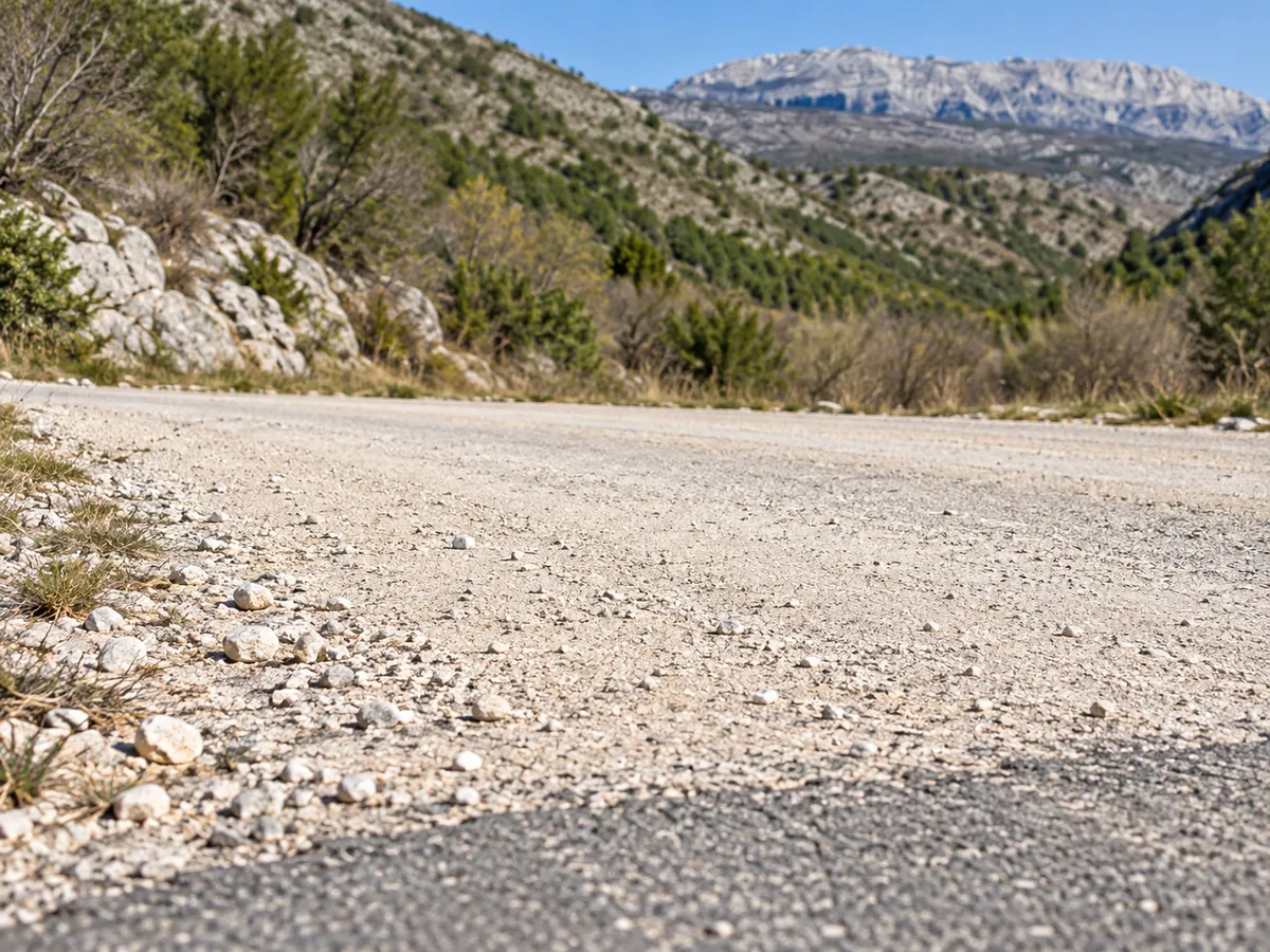
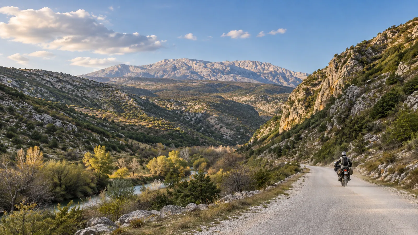
From the waterfall area, the ride follows the historic Napoleon Road into Krčić Canyon. Here, pale macadam, limestone walls, intermittent river greenery and views of Dinara give a short route much of its character. The Knin Tourist Board describes a macadam road along the river associated with the Napoleonic period, and mentions old mills in the canyon. The GPX does not record surface changes, so the exact gravel distance of this ride has not been measured.
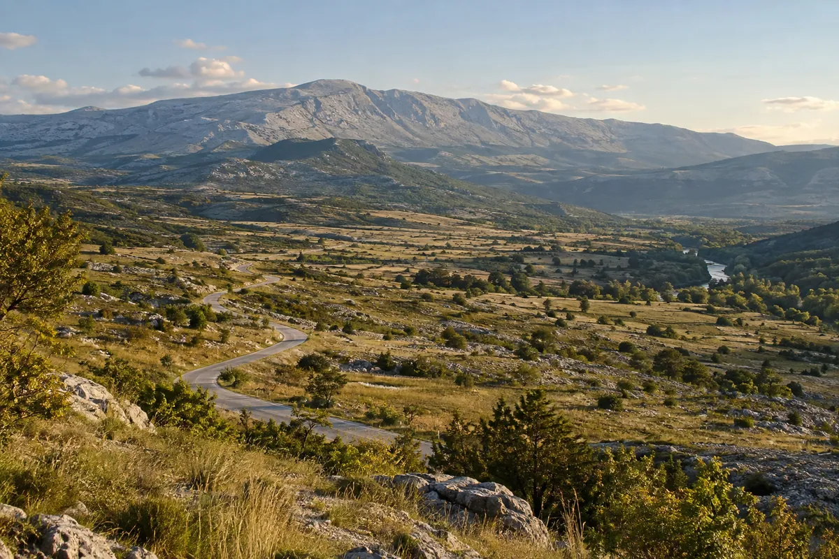
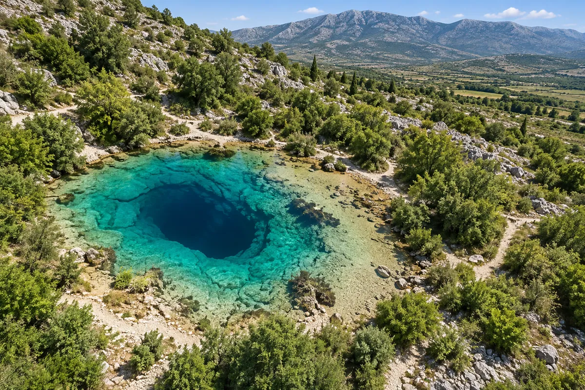
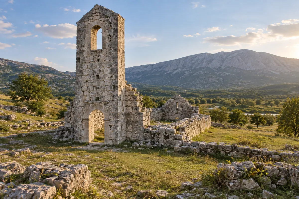
Beyond the canyon, the supplied track crosses more open country below Dinara toward the upper Cetina. It passes close to Cetina Spring and the Church of Holy Salvation, both worthwhile stops if access and parking conditions allow. The route continues south to Vrlika. It does not pass through the centre of Kijevo, and no detour has been added to force a point of interest onto the GPX.
Fuel, services and practical notes
The supplied GPX measures 42.7 km from Knin to Vrlika. Allow about three hours of riding for its mix of asphalt and gravel, plus time for stops; this is an editorial estimate, not a duration recorded by the GPX. The cleaned track also contains elevation data, which supplies the map’s profile. The moderate difficulty rating reflects the planned mixed-surface ride and cannot describe the condition of every unpaved stretch on the day.
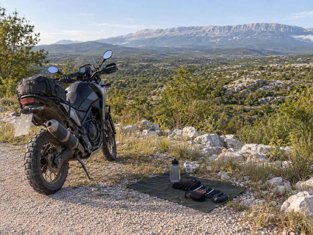
Start with enough fuel for the whole route, water and basic puncture-repair equipment. Do not count on services in the canyon or across the quieter upper-Cetina stretch. Late spring to early autumn is a planning window, not an opening calendar: mountain weather can change quickly, and prolonged or heavy rain can leave loose stone, ruts or washouts on gravel. Watch for livestock and occasional local traffic, ride at a pace that leaves room to stop, and check current weather and HAK road information before setting out.
Access and route status
This page follows the user-supplied GPX on existing roads. It does not recommend riding hiking paths, bicycle-only trails or off-road terrain. Dinara Nature Park covers part of the wider landscape, but its declaration alone does not establish where motorcycles may ride. Current motorcycle access on every unpaved section has not been confirmed with the responsible road or park authorities. Before riding, check local rules and signs, obey closures or restrictions, and turn back where access or conditions are uncertain. The route is desk researched and has not been ridden or locally verified by TwistAtlas.