The road and its story
The cleaned, user-supplied track starts in Mostar, passes the outskirts of Blagaj, climbs toward Nevesinje, then continues through Gacko and Bileća to Trebinje. Its measured length is 163.1 km. The GPX records the riding line and elevation, but it is a planned export rather than evidence of a completed ride.
The Mostar–Nevesinje connection has changed over time. A local historical account describes an older road through Blagaj, Busak, Čobanovo polje and Bišina, followed by later reconstruction and realignment. That account helps explain the corridor, but it does not establish that the present GPX follows an intact historic road throughout. The road authority’s traffic inventory identifies the present Gnojnice–Nevesinje connection as part of M6.1; the 2022 reconstruction report documents work on the Bišina–Bakračuša section. The onward ride through Gacko and Bileća connects distinct parts of eastern Herzegovina; it should not be presented as one continuous “Mostar road” from the nineteenth century.
From Mostar to Nevesinje
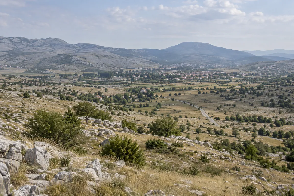
The track leaves central Mostar through Gnojnice and runs along the approach to Blagaj. It comes within roughly 1 km of central Blagaj but does not enter the centre or the Buna spring area. Visiting either is an optional detour that needs its own navigation and legal parking. The downloadable GPX continues east instead, climbing away from the basin into more open, higher limestone country before reaching Nevesinje at about kilometre 36.
The ascent is a large change in terrain and temperature over a short distance. Allow room for slower traffic, bends and variable visibility. Historic roadside remains or viewpoints beside the older Blagaj route are not included as motorcycle stops: their current access, surface and safe parking have not been established.
Across Gacko and Bileća to Trebinje
After Nevesinje, the track follows the eastward corridor to Gacko, reached at about kilometre 88. From there it turns south through the high country toward Bileća, reached at about kilometre 132. The regional tourist organisation places Bileća at the junction of roads linking Gacko, Trebinje and other Herzegovinian centres. The GPX then continues roughly 31 km to its finish in Trebinje. Views toward Bileća Lake are possible in the wider area, but this route does not prescribe a lakeshore detour or a roadside stopping point.
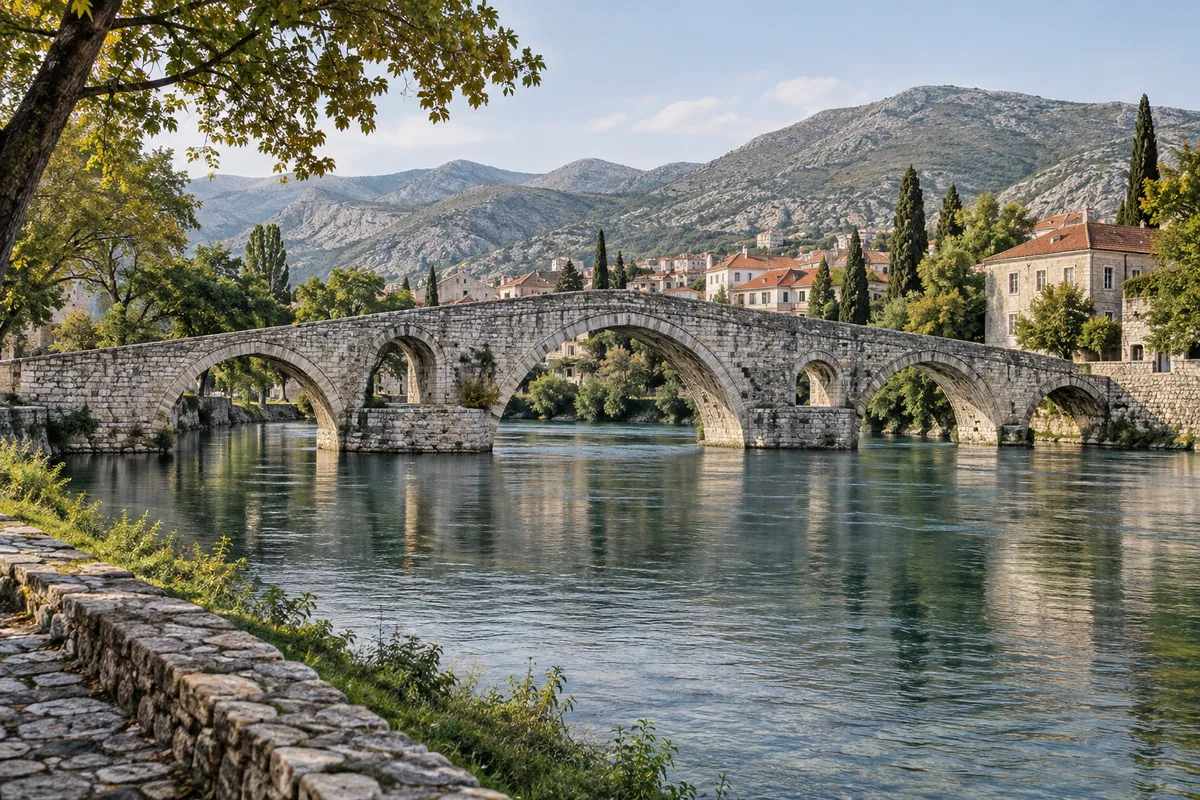
Trebinje’s Perović (Arslanagić) Bridge is a worthwhile separate walking visit after the ride. The bridge was moved from its original site in the twentieth century; the motorcycle track does not cross it and ends in town rather than at the bridge.
Fuel, time and riding preparation
Allow approximately four hours of riding for the recorded line and more time for meals and historical visits. This is a planning estimate, not a GPX timestamp. Start with sufficient fuel in Mostar and check current opening hours before relying on a particular station in Nevesinje, Gacko or Bileća. Carry water and a layer for the cooler high ground; May to October is a conservative planning window, not a guarantee of clear roads. Summer heat in Mostar and Trebinje can contrast with wind and colder weather around Nevesinje and Gacko.
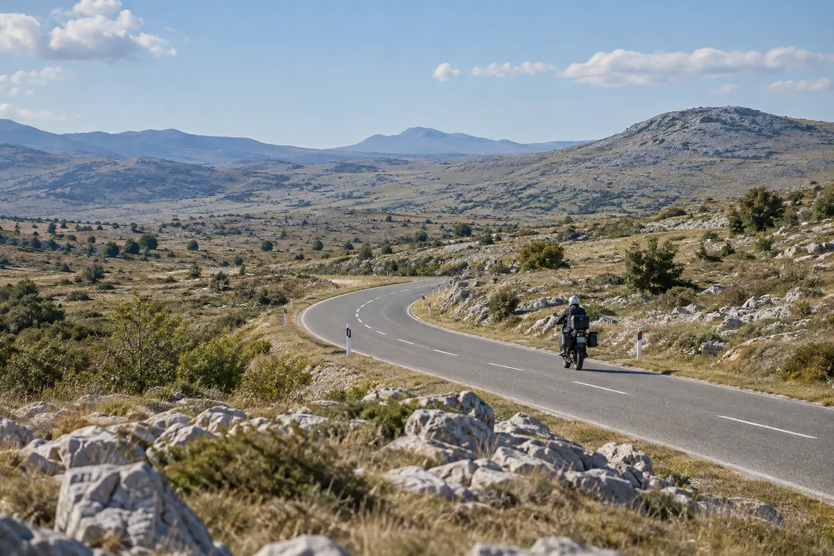
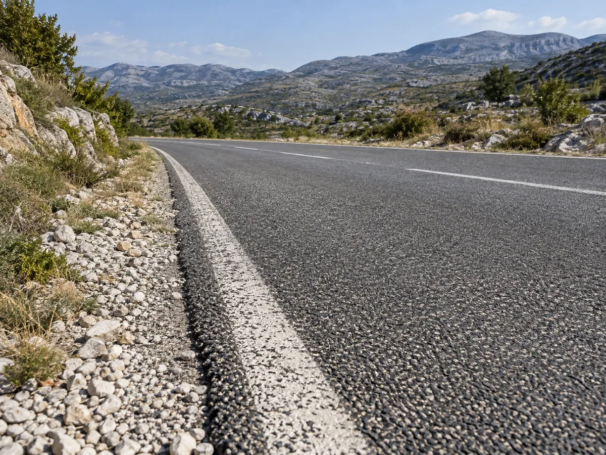
The route is planned on ordinary paved roads and is intended for road and touring motorcycles, including two-up riding in suitable conditions. Neither the GPX nor the route planner’s surface preference verifies every metre of asphalt, legal access or present-day passability. Expect the possibility of damaged pavement, debris, livestock, wind, poor visibility or winter conditions on exposed sections. There is no planned international border crossing, ferry or toll road. Parking charges at optional stops are separate from the route.
Check BIHAMK and AMS RS shortly before setting out. Their reports were consulted on 23 September 2026; the absence of a listed closure is not confirmation that each part of this line is open or safe. Follow current signs and turn back if a section is restricted or unsuitable. The route remains desk researched until someone checks the line, surface and stopping places on the ground.