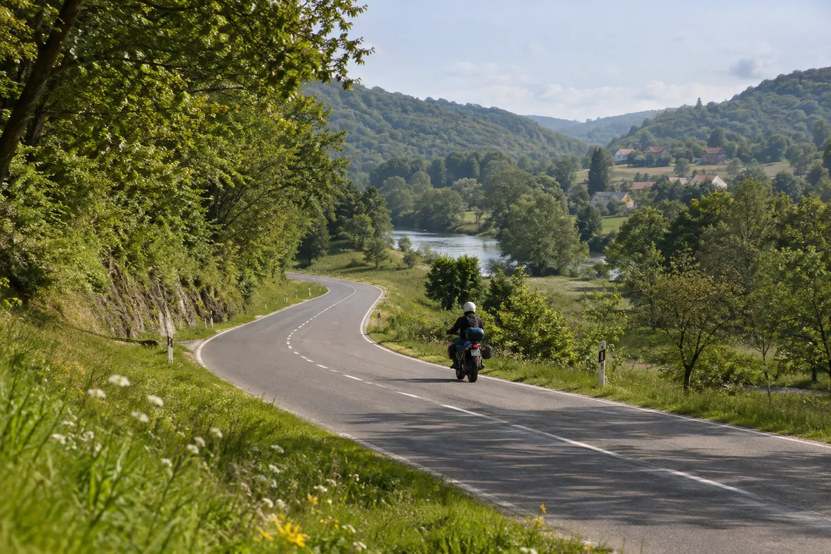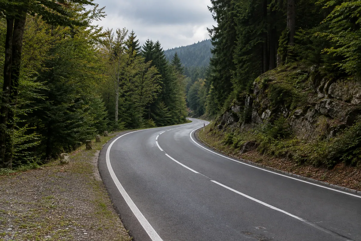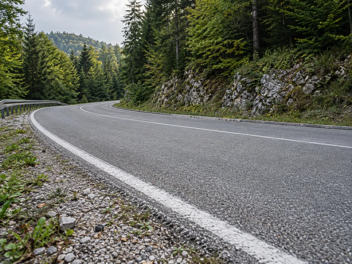
The road and its story
Lujzijana was built between 1803 and 1811 to connect Karlovac with the port of Rijeka. It made the mountain crossing more useful to merchants, coach travellers and the settlements that served them. Its surviving milestones, stone walls, bridges and former inns tell a story of engineering and everyday travel. The exact origin of the road’s name is debated; it is safest to treat “Lujzijana” as a historical name rather than attach it to one person without qualification.
This ride follows a present-day road corridor associated with Lujzijana. It is not an unbroken drive on original nineteenth-century paving. Roads have been rebuilt, and a former section between Lokve and Mrzla Vodica disappeared beneath Lokvarsko Lake when the reservoir was created. The GPX uses the modern road above the lake; it does not enter the lakebed or visit Carev most.
From Karlovac to the forested interior
The supplied track begins in central Karlovac and passes Marmontova aleja before heading through Borlin and the Stative area. The Dobra crossing near Donje Stative is a useful first historical stop, provided you find a legal place to park. After Netretić, the track heads through the Prilišće corridor toward Vukova Gorica, then reaches Severin na Kupi. Keep an eye on the actual GPX at junctions: a nearby historic landmark is not necessarily on a safe stopping place or directly on the riding line.
From Severin, the ride continues past Nadvučnik, Stubica and Hajdine. Lujzijana ran above Vrbovsko rather than through its centre, so the route does not add a detour into town. It then crosses the wooded settlements around Donja and Gornja Dobra, Skrad and Kupjak before reaching Delnice. Forest shade can keep the road damp after rain, even when exposed sections are dry.
Lokvarsko Lake and the descent to Rijeka
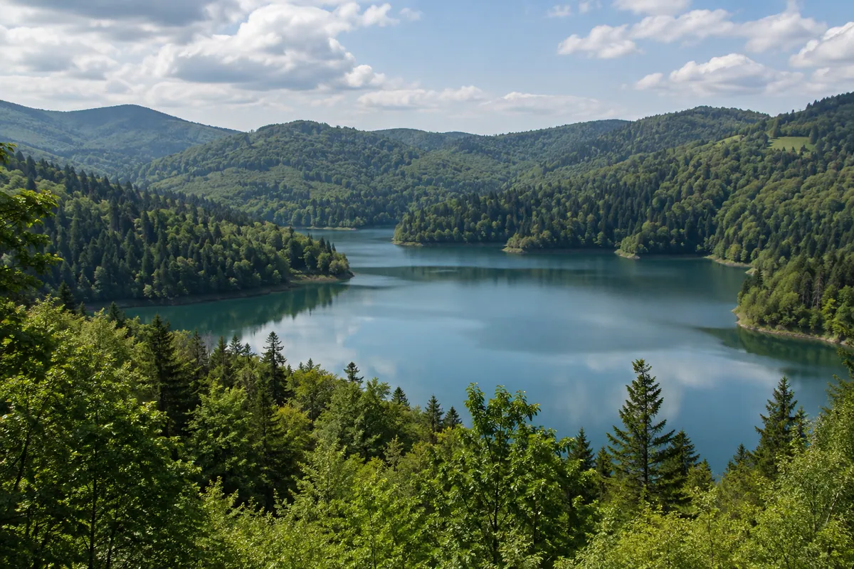
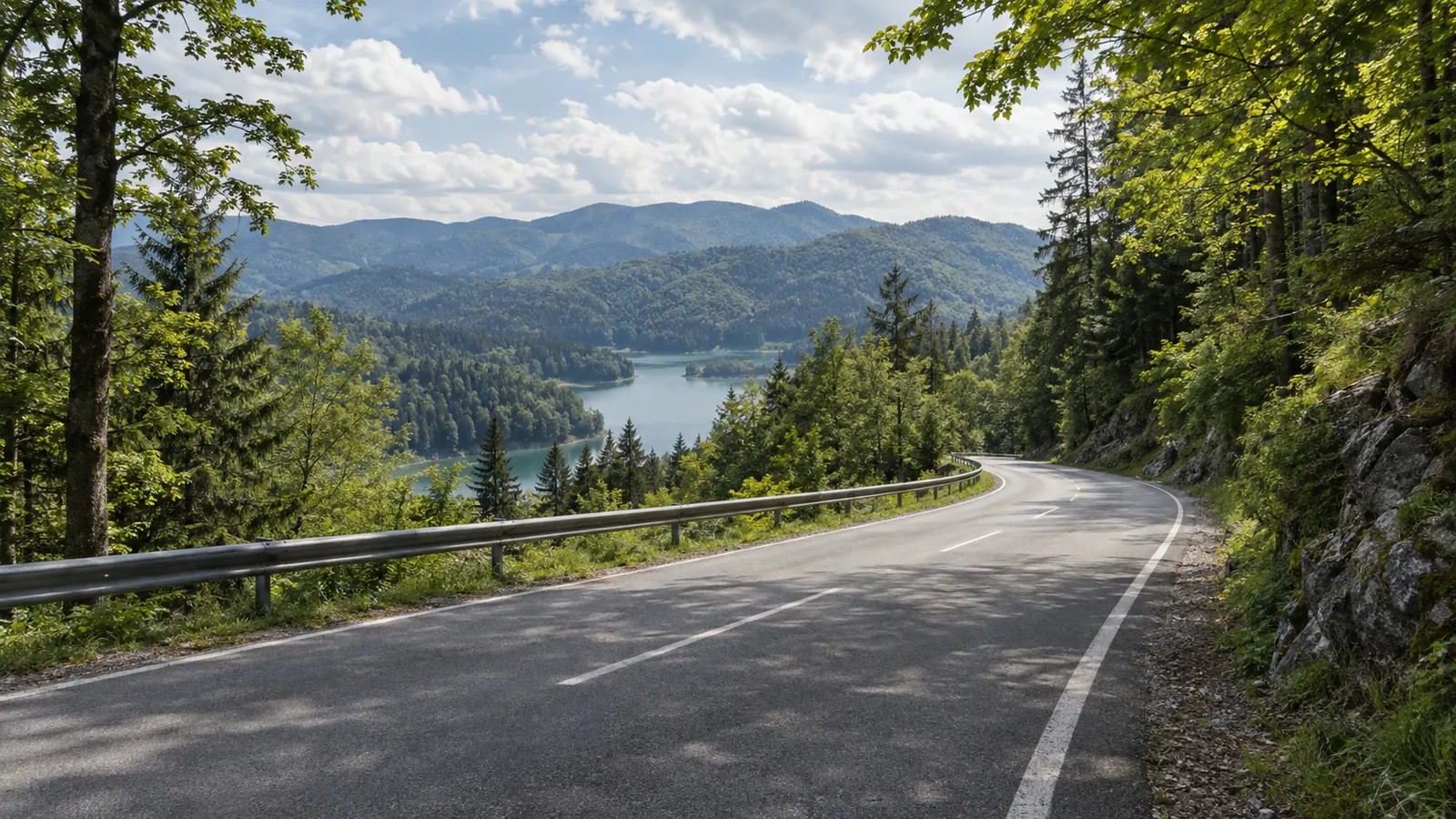
From Delnice the GPX follows the modern road above Lokve. It passes roughly 1.3 km from the centre of Lokve, so the lakeside and the village are optional stops, not places the downloadable track visits. Look for a safe, legal viewpoint if you want to see Lokvarsko Lake. The historical road beneath its water is part of the story, not a rideable variant.
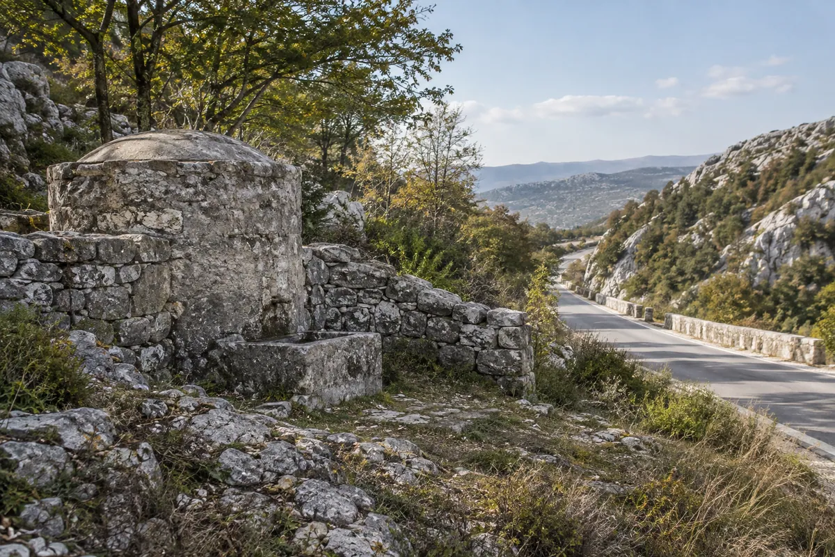
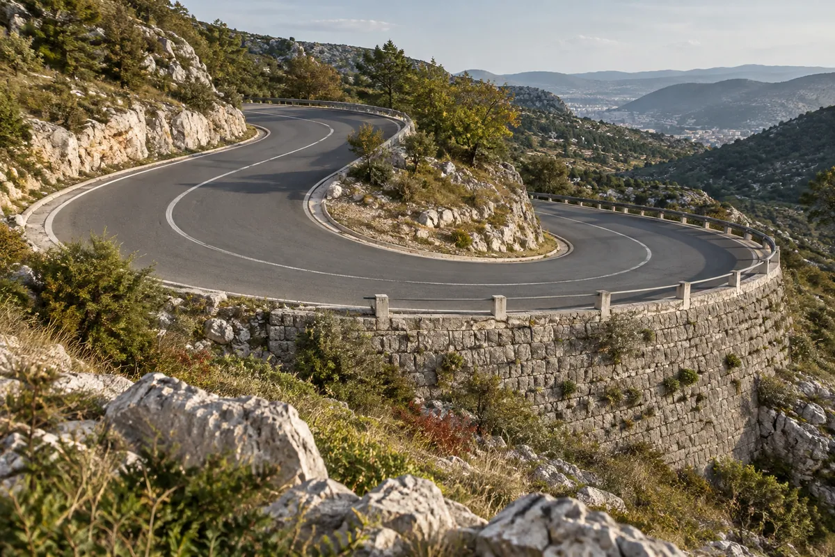
The track climbs toward Gornje Jelenje, then drops through the Kamenjak and Čavle corridor toward Rijeka. Cirkul’s milestone, substantial stone retaining wall and nearby road works are distinctive reminders of how the old road handled the descent. Čebuharova house in Čavle recalls the inns and horse changes that once supported travellers. Treat these as points of interest to inspect from a lawful stop; parking and access at each monument have not been field checked. The GPX finishes in central Rijeka, west of Titov trg.
Fuel, time and riding preparation
The cleaned track measures 131.6 km. Allow about four hours of riding, then add time for food, photographs and historical stops. That riding time is an editorial estimate, not a time recorded in the GPX. Start with a full tank. Delnice is the practical mid-route fuel and meal stop; check operator hours before relying on a particular station. Carry a layer for the cooler high ground and allow for fog, wet forest shade and wind on the descent toward Kvarner.
The planned ride uses ordinary paved roads, but the track has not been ridden or checked surface by surface. A route planner’s avoidance settings do not prove every metre is asphalt or open to motorcycles. Review the downloaded line against current maps and signs, particularly the smaller roads after Netretić and the final approach to Rijeka. There is no planned border crossing, ferry or toll road. Check current road conditions with HAK shortly before departure.
GPX and review status
The downloadable line is a cleaned, user-supplied Kurviger export using OpenStreetMap data. Cleaning removed the export’s time and device-style metadata while retaining the track geometry and elevation profile. It is a planning line, not evidence of a completed ride. The route is desk researched; current access, surface, safe stops and the historical alignment of each small section still need an on-road check.