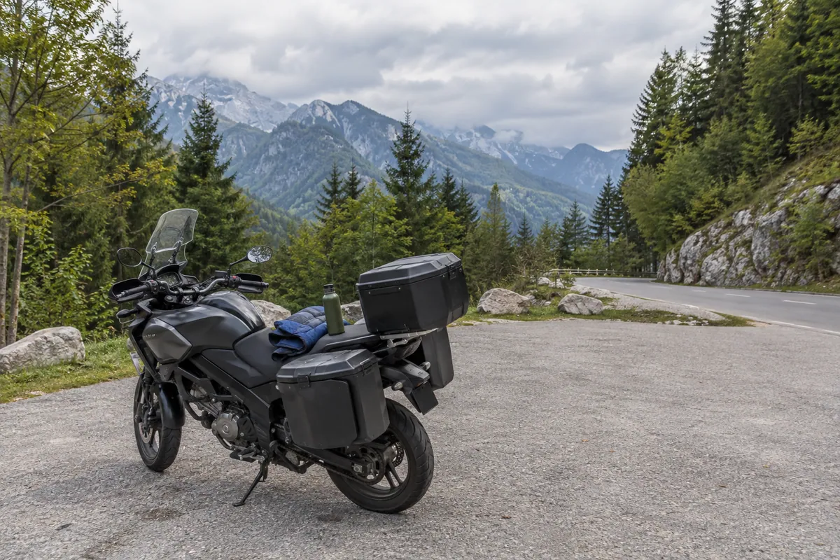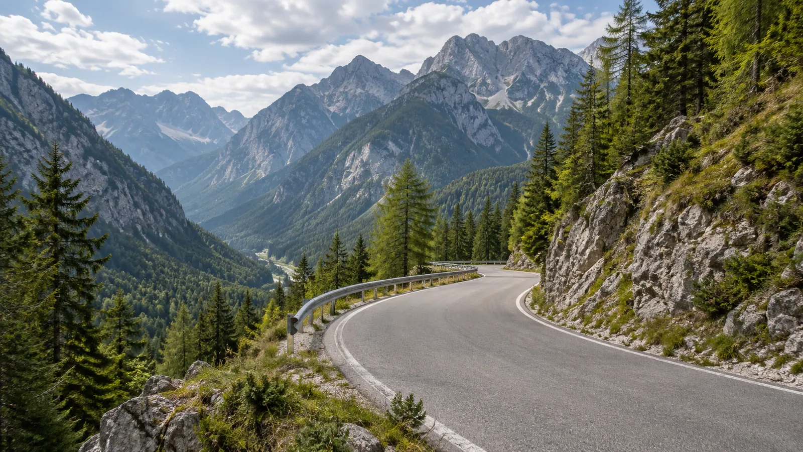
The road and its history
The cleaned track runs 94.6 km one way from Kranjska Gora to Tolmin. It links the Vršič crossing, the upper Soča Valley and the Kolovrat ridge, but those places played different roles in the First World War. The officially named Russian Road is the Erika–Vršič section of the pass road, built with labour from Russian prisoners of war. The present ride continues well beyond it on modern roads; it is not a single preserved wartime road.
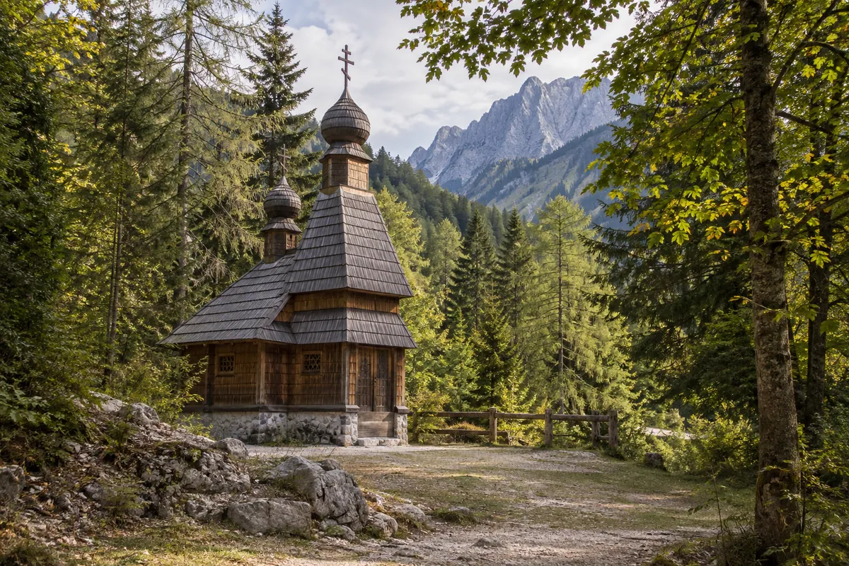
The Russian Chapel beside the northern climb is a place of remembrance for prisoners who built and maintained the route. The chapel existed before the catastrophic 1916 avalanches, so describing it simply as a chapel built after that event would obscure its history. Vršič was a supply crossing, while the positions on Kolovrat belonged to the front-line landscape above the Soča Valley. Kobarid helps explain the October 1917 breakthrough. Give these histories room for a walking visit instead of treating every marker as a quick roadside photo stop.
Kranjska Gora, the chapel and Vršič
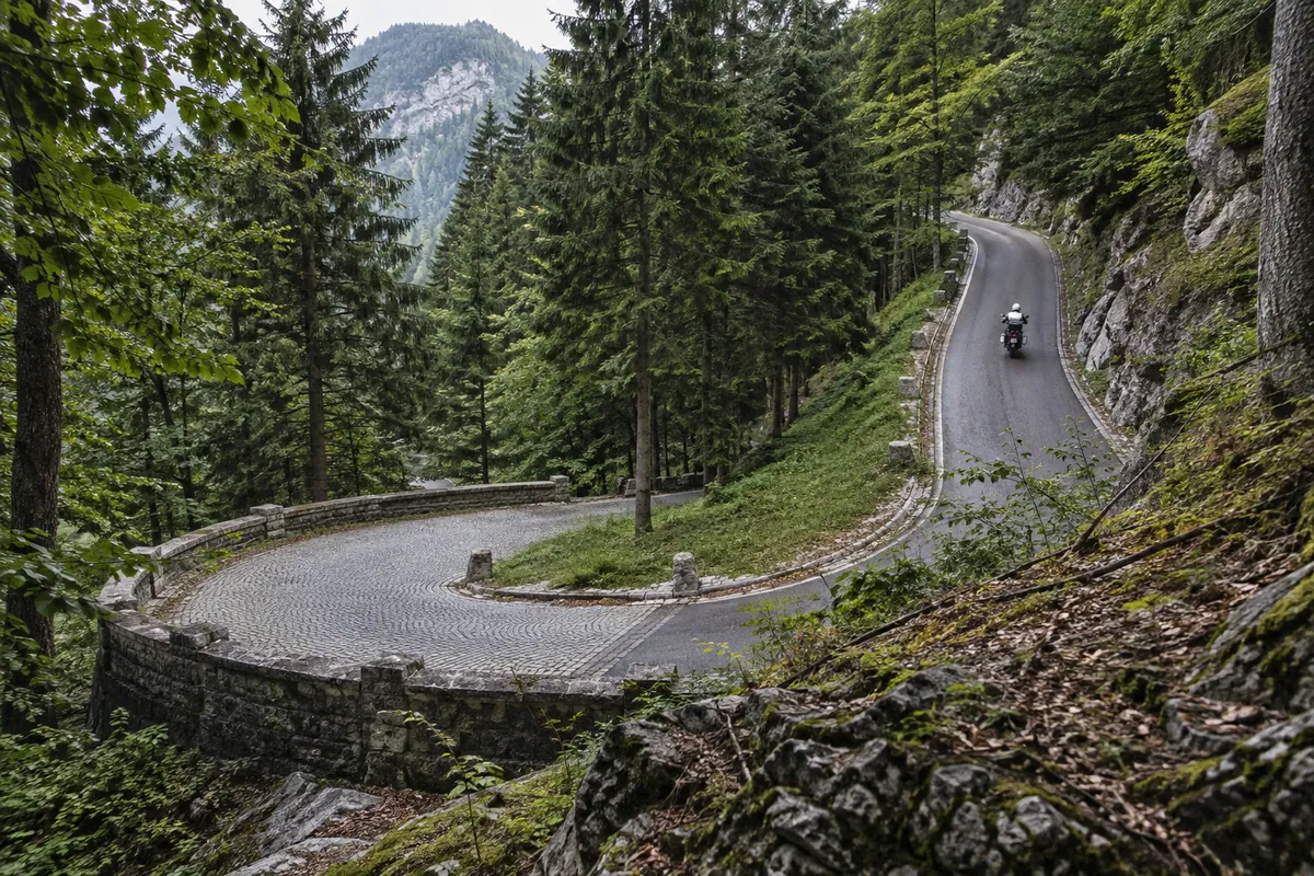
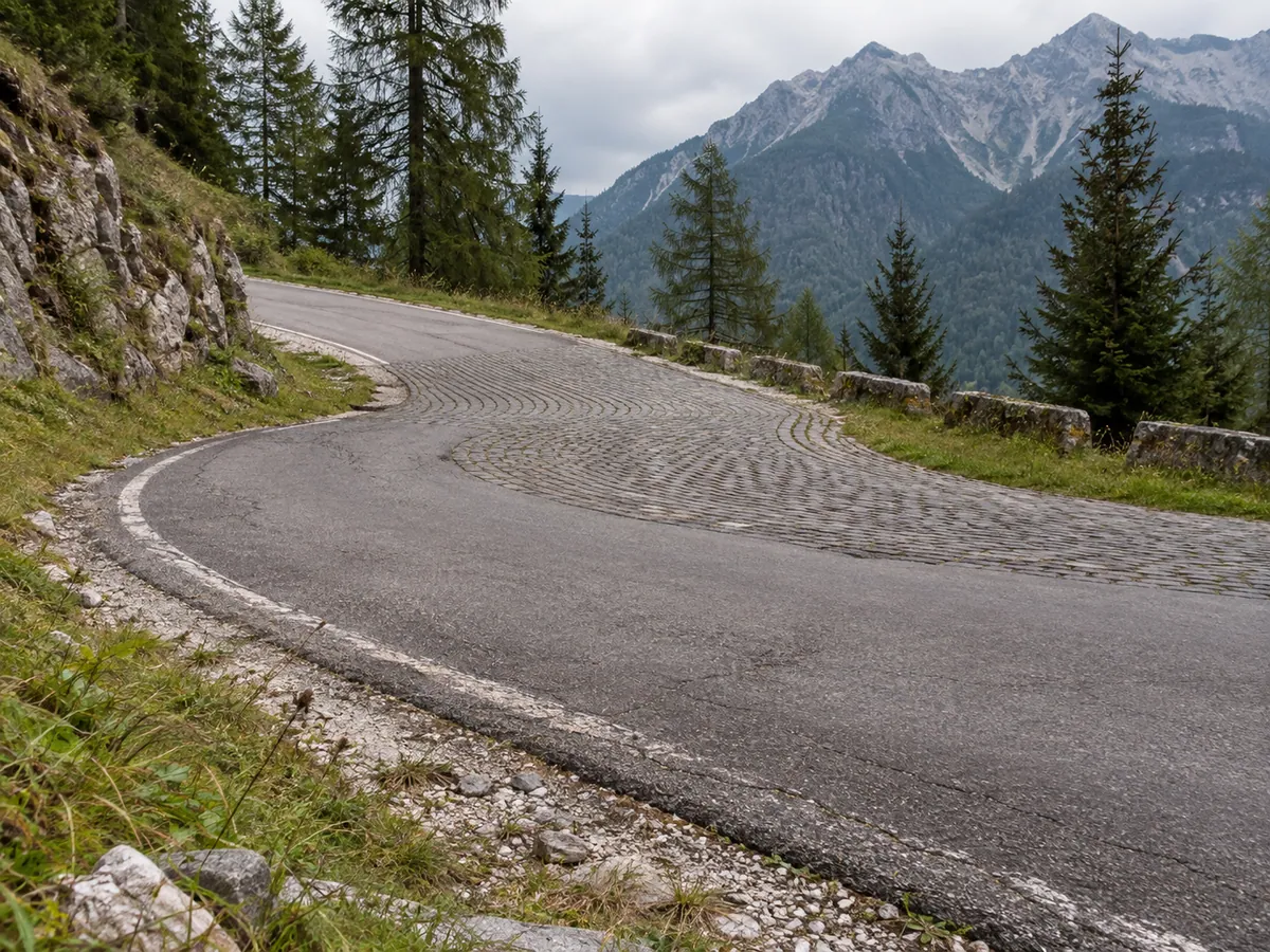
The GPX starts at the Petrol station in Kranjska Gora and joins the road toward Lake Jasna and Vršič. The chapel lies close to the riding line at about 8 km. Park only where currently permitted and walk to it; do not stop in a hairpin. The track reaches the Vršič pass at about 13 km, after a steep, narrow sequence of bends. Parts of the pass road have stone-sett paving, and the mix of tight turns, other traffic and changing grip deserves a measured pace.
The pass can close or operate with temporary restrictions, especially outside the warmer season. The June–September season on this page is an editorial riding window, not a promise that the road is open throughout those months. Check current Slovenian traffic conditions and the forecast before departure. If Vršič is closed, the GPX cannot be followed as described.
Down the Soča Valley to Kobarid
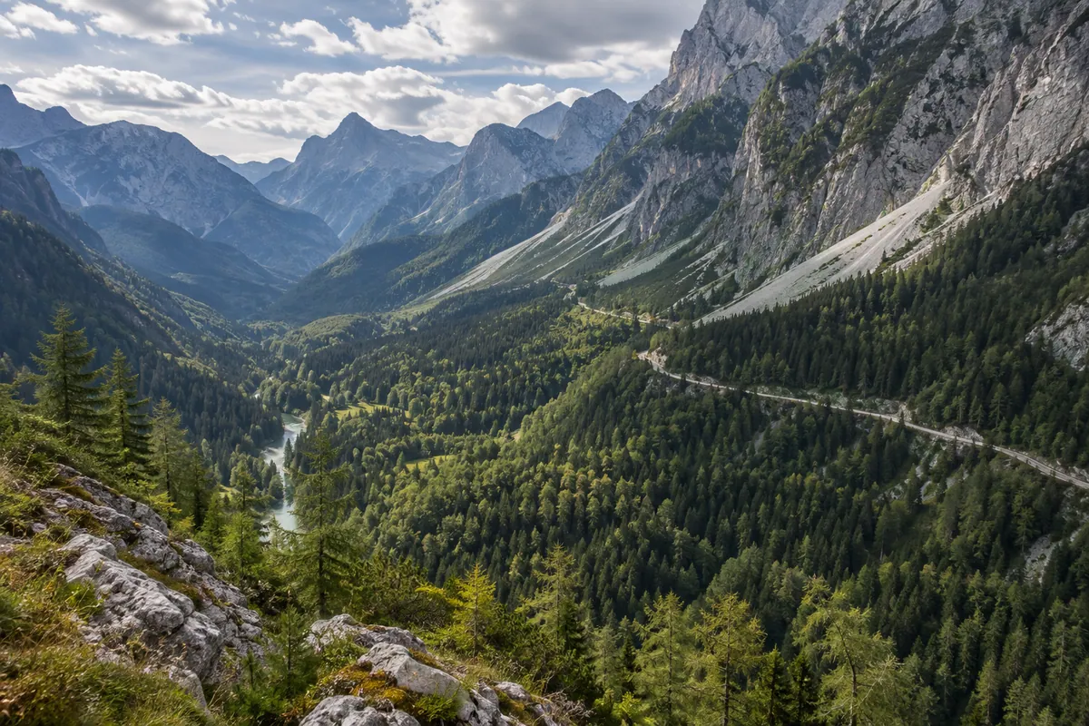
South of the pass, the track descends through Trenta and continues by Soča village and Kal-Koritnica to Bovec. The mountain scenery gradually gives way to a valley road. Bovec is the most useful mid-route place to refuel and take a break; the GPX passes close to its fuel station at about 48 km. Confirm the station’s current hours if you depend on it. Further south, the line follows the river corridor past Žaga, Srpenica and Trnovo ob Soči to Kobarid.
Kobarid is worth a longer history stop. The museum interprets the Soča Front and the 1917 breakthrough, but it is in town rather than directly on the GPX line. Allow a separate approach and a lawful parking place if you want to visit. The route does not add a loop through every nearby war site.
Idrsko, Kolovrat and Tolmin
At Idrsko, around 69 km, the GPX leaves the main valley road and climbs by Livek and Livške Ravne toward Kolovrat. The track passes close to the open-air museum’s visitor area at about 82 km. Its trenches and positions are a walking visit on uneven ground, not a motorcycle section. The museum landscape spans the Slovenian–Italian border; this riding GPX stays on the Slovenian approach and descends toward Volče, without a planned road border crossing.
The last kilometres drop from the ridge through Volče to Tolmin. The supplied track finishes on Dijaška ulica at 94.6 km. The German Ossuary is an optional pedestrian visit from this area, with access and opening arrangements to check beforehand. The GPX ends on the road; it does not ride to the memorial or establish a reserved parking space.
Riding time and preparation
Allow roughly 3½ hours of riding, excluding museum visits, meals and long photo stops. That is an editorial estimate, not a travel time recorded in the GPX. The short distance can still fill a day if you visit the chapel, Kobarid Museum and Kolovrat. Start with fuel, carry water and a warm or waterproof layer, and leave time for the slower pass and ridge roads. Use only designated parking and follow the Triglav National Park visitor code where it applies.
The planned line uses public paved roads, including stone-sett bends, but no one has field checked every metre of its surface or current motorcycle access. Check local signs and conditions on the Kolovrat approach in particular. There is no planned motorway, toll, ferry or motorcycle border crossing. The downloaded GPX is a cleaned user-supplied Kurviger line using OpenStreetMap data. It provides geometry and an elevation profile, not proof of a completed or verified ride. This route remains desk researched until an on-road review confirms the surface, access, safe stops and travel times.